
Empowering the geospatial community by providing data access, services, partnerships, and engagement.
2026 Texas GIS Forum

Join geospatial professionals from across Texas to exchange ideas, expand your network, and stay at the forefront of innovation. Registration now open!
Learn More Learn more about eventsStratMap Strategic Mapping Program

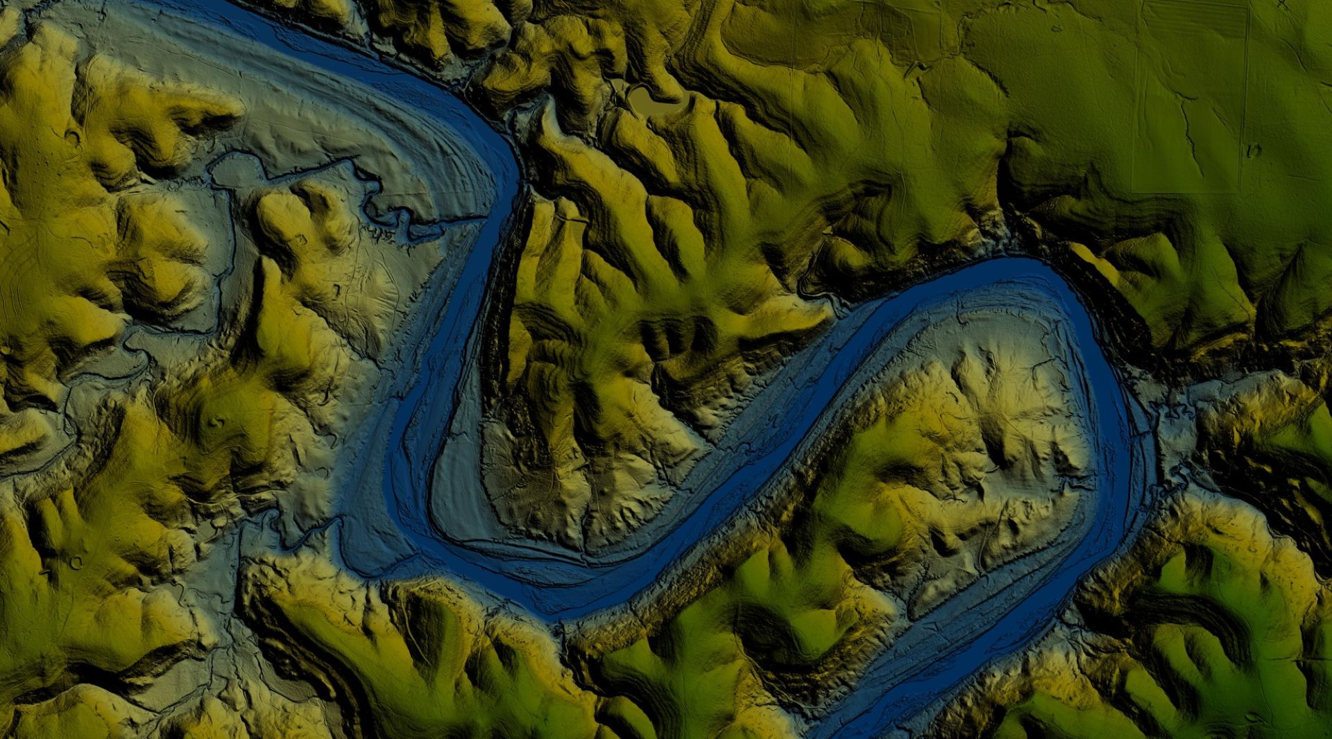
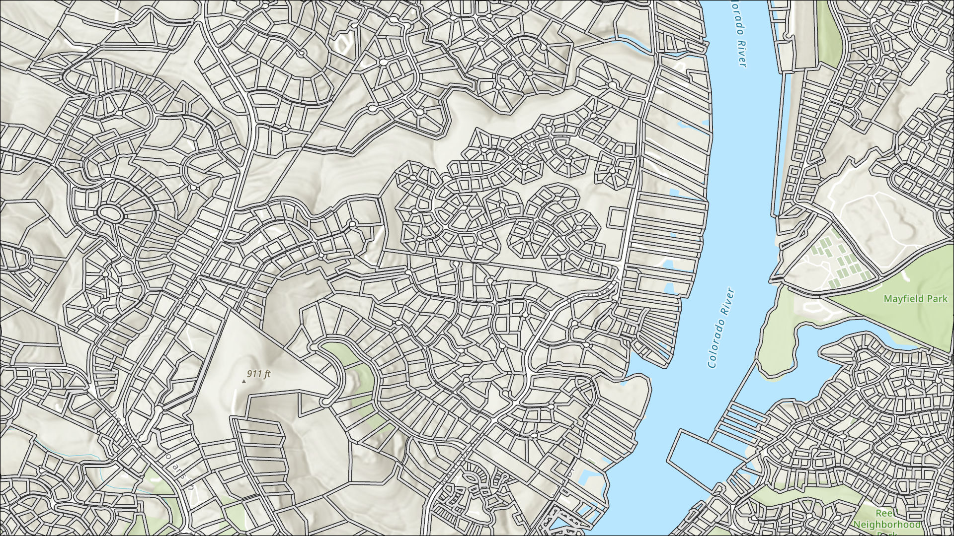
StratMap was originally established in 1997 by Senate Bill 1 to develop consistent statewide digital data layers. Since then, its primary goal has been to acquire and improve digital geographic data statewide.
Learn More Learn more about stratmap programRDC Research & Distribution

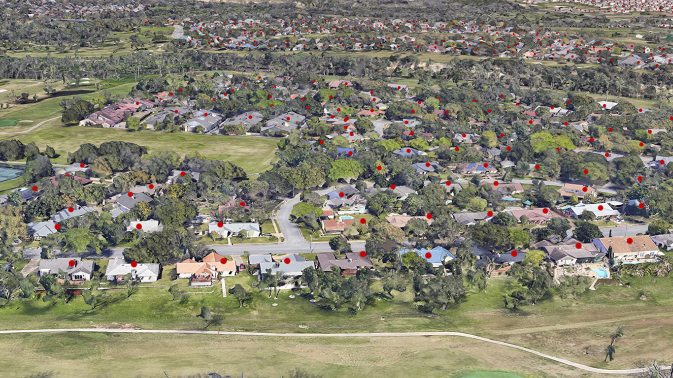
Let our hands-on team of data Specialists assist you with physical map products and other datasets, many unavailable online.
Learn More Learn more about RDC