forum-2026

Texas GIS Forum

October 19  – 23, 2026

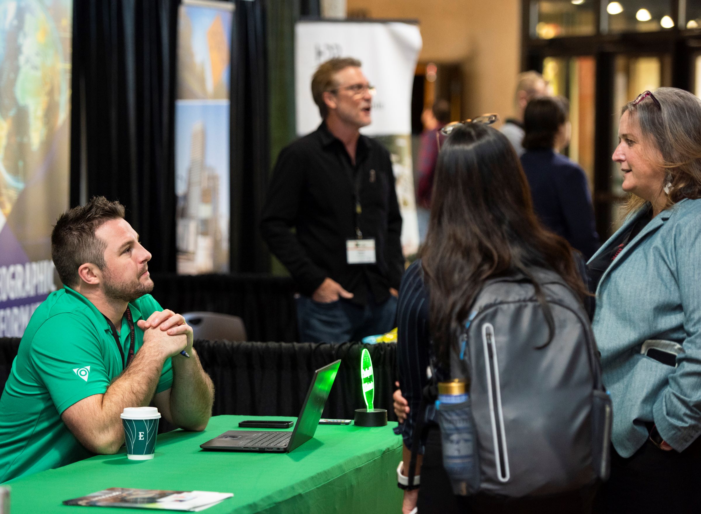
Geospatial work shapes how Texas plans, builds, and responds. GIS professionals support the systems our state relies on every day, even when that work goes unseen. The Texas GIS Forum brings those efforts to the forefront, connecting the people behind the maps, data, and decision-making.

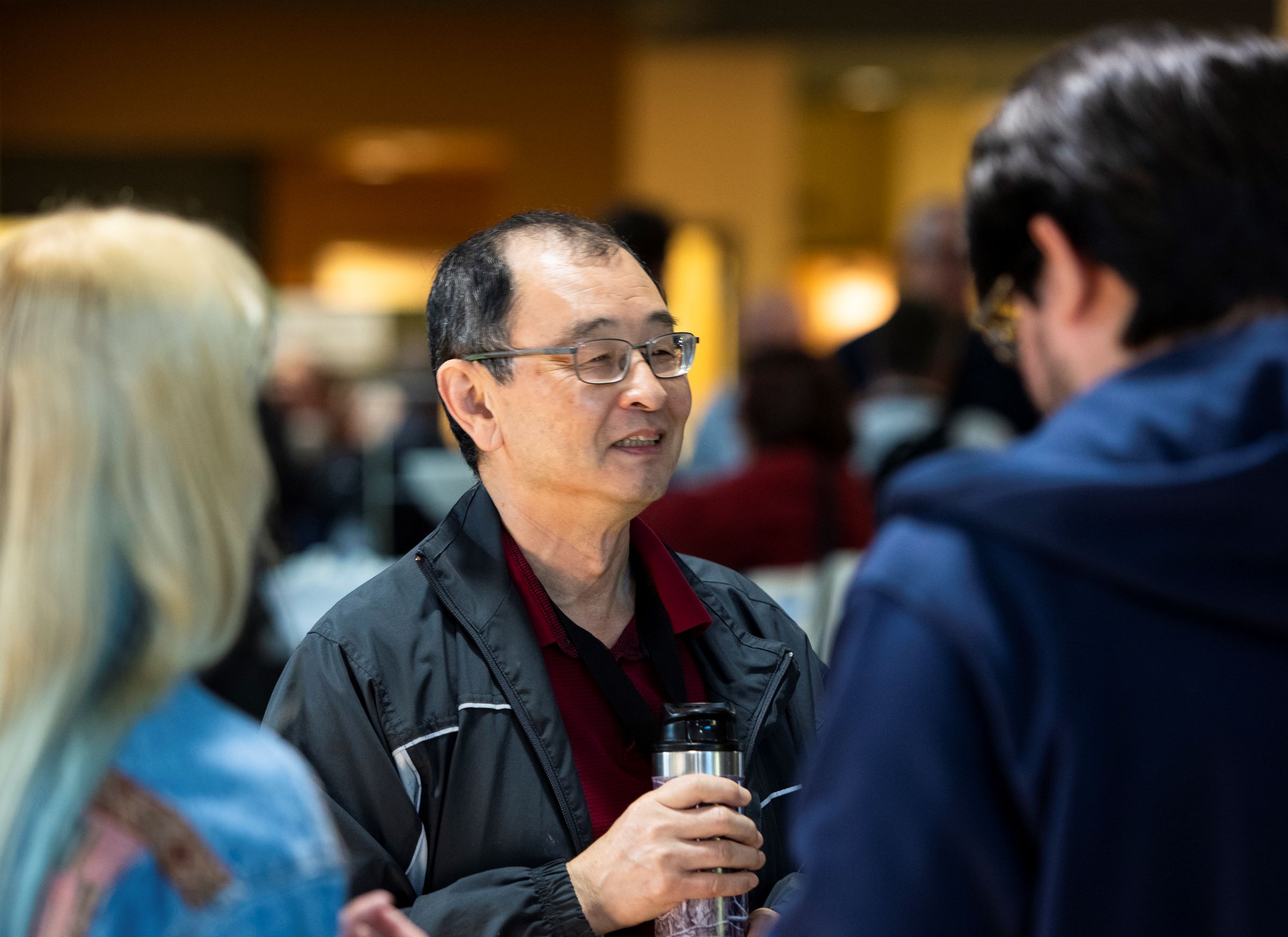
From visionary keynotes and peer-led presentations to interactive spaces and hands-on learning, the Forum offers a comprehensive look at the state of the industry. Beyond the sessions, our social and networking opportunities provide the space to reconnect with collegues and build new partnerships.

Join your peers from across the state and beyond to share what's working, what's changing, and what's next. This year, geospatial takes the stage.
Geospatial Takes the Stage

Pricing

Full Registration

Government Rates

Early (ends 9/15)

$400

Standard (ends 10/16)

$450

Late

$475

Industry Rates

Early (ends 9/15)

$475

Standard (ends 10/16)

$525

Late

$575

Student/Public Rate

Flat fee

$75


Current students MUST present a valid student ID upon registration check-in. If you are a recent graduate, currently unemployed, or retired and would like to be considered for a Student/Public ticket, please email texasgisforum@iemshows.com with a brief explanation of your circumstance BEFORE moving forward with registration.

Need a justification letter? Download our ready-to-use template here.


Workshops

Half-day session

Flat fee

$150 each

Full-day session

Flat fee

$300 each

Two-day session

Flat fee

$600 each


Conference Workshop passes are sold separately and do not include sessions, exhibits, or meals.

Keynote Speakers

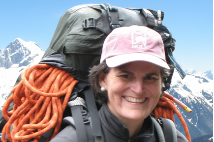
Tori Murden McClure

Explorer, Author, Educator, and Record-Setting Adventurer


Tori is perhaps best-known as the first woman and first American to row a boat solo across the Atlantic Ocean, having accomplished the feat in 1999 after 81 days at sea. A decade earlier, she was on the expedition on which the first women and first Americans skied overland to the geographic South Pole during a 50-day, 750-mile expedition.


Tori Murden McClure is an explorer, author, and the former President of Spalding University from 2010 until 2024. During her career, she worked as a chaplain at a Boston hospital, as the director of a shelter for women, as a policy assistant to the Mayor of Louisville. She was the first full-time employee of the Muhammad Ali Center in Louisville. She is a former Board Chair of the National Outdoor Leadership School, and she is a former Vice Chair and Interim Chair of the NCAA Board of Governors – the top governing body in collegiate athletics.


Tori holds a bachelor’s degree from Smith College, a Master of Divinity from Harvard University, a law degree from the University of Louisville and a Master of Fine Arts in writing degree from Spalding. She is author of the memoir, A Pearl in the Storm: How I Found My Heart in the Middle of the Ocean, which details her life and journey across the Atlantic. The book is the basis of a stage musical, called, Row, which made its world premiere at the prestigious Williamstown Theatre Festival in Massachusetts in the summer of 2021.


Tori has been an Emergency Medical Technician (EMT) and Wilderness EMT for almost twenty-five years. Currently, Tori teaches Wilderness Medicine for the National Outdoor Leadership School (NOLS), she teaches new Emergency Medical Technicians at a local fire house, and she volunteers her time for causes she feels are important.

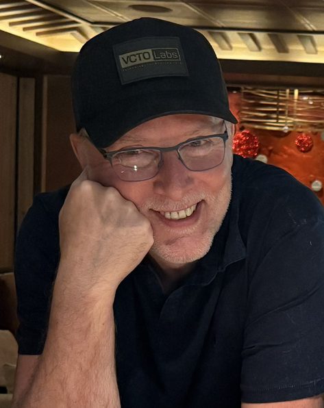
Pete Kelsey

Founder, VCTO Labs


Pete Kelsey is a reality capture specialist with more than 25 years of experience leading strategic, story-driven projects that bring new insight to historically and culturally significant places. He works with LiDAR, photogrammetry, multispectral imaging, terrestrial laser scanning, GPR, and SONAR applying these technologies not as ends in themselves, but as tools to deepen understanding, preservation, and public engagement. His work focuses on projects where spatial data can fundamentally change how familiar stories are seen, understood, and sustained.


Pete’s work has been recognized by major global media outlets including The New York Times and CNN, most notably for his leadership on the comprehensive 3D mapping of Alcatraz Island. That project combined robots, drones, lasers, and high-performance computing to create one of the most complete digital records ever produced of a U.S. national historic landmark. His reality capture expertise has also been featured on National Geographic documentary television, including Buried Secrets of WWII, where modern remote sensing techniques are used to uncover hidden wartime landscapes and reinterpret history through data. Additional documentary film work includes projects for broadcast and digital platforms where reality capture is used to visualize inaccessible environments, support investigative storytelling, and translate complex spatial data into compelling on-screen narratives. These include National Geographic’s Drain the Oceans and History Channel’s The Secret of Skinwalker Ranch, where geospatial data and advanced sensing are used to explore hidden, controversial, or hard-to-access locations.


In addition to media and documentary work, Pete collaborates closely with hardware and software vendors to push the limits of what reality capture can achieve at scale. These partnerships ensure that ambitious ideas can be executed reliably in the field and transformed into actionable, enduring datasets. Known for bridging technology, narrative, and real-world impact, Pete Kelsey’s work sits at the intersection of geospatial science, preservation, and storytelling.

Digital Map Gallery

Submit a Map!

Share your expertise through our digital Map Gallery. Highlight the projects and solutions that often go unseen.

Submit a Map 


2025 Highlights

Teach Me GIS

Geospatial Training Services